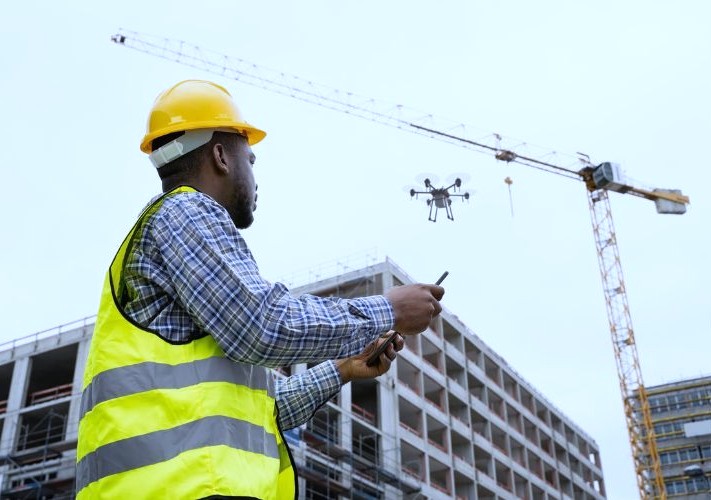
Enhancing Construction Projects with Advanced Drone Technology
SOCOTEC’s Drone (Unmanned Aerial System – UAS) Services provide advanced aerial data collection, mapping, and inspection solutions for geotechnical, environmental, and construction projects. Utilizing cutting-edge drone technology, we offer cost-effective, high-resolution imaging and analysis to enhance decision-making, improve safety, and streamline project workflows.
Advantages of SOCOTEC’s Drone Services
Enhanced Safety: Reduces the need for personnel to access hazardous areas
Time and Cost Savings: Faster data collection and improved project efficiency
High-Resolution Data: Provides detailed imaging for precise analysis
Non-Intrusive Assessments: Captures information without disrupting ongoing operations

Talk to our experts
Comprehensive UAS Capabilities
SOCOTEC’s FAA-certified remote pilots and technical experts deliver high-precision aerial data acquisition for a wide range of applications, including:

Regulatory Compliance and Expertise
SOCOTEC’s UAS team operates in full compliance with FAA Part 107 regulations, ensuring legal, safe, and efficient drone operations. Our team is highly trained professionals with expertise in geospatial analysis, engineering, and environmental sciences. With a commitment to innovation and accuracy, SOCOTEC’s Drone (UAS) Services provide actionable insights to support the success of your projects.
Want to learn how our drone capabilities can enhance your project’s efficiency and decision-making?


